Geoconnex Documentation
Data infrastructure for unifying hydrologic features in the United States
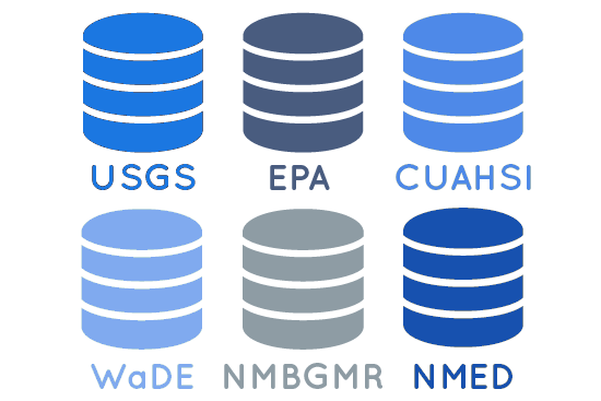
Contribute your water data to Geoconnex
Advance research by contributing the data your organization already collects.
Access data across organizations
Gain broader insights by leveraging common water data standards and a common API.
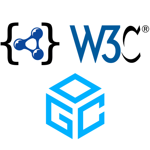
Align on common water data standards
Ensure your organization knows best practices and is part of the community effort to standardize the future of water data.