Access with QGIS and ArcGIS
You can easily add and explore data from OGC API - Feature servers in both QGIS and ESRI ArcGIS. OGC API compliant servers, such as reference.geoconnex.us, allow seamless integration of geospatial data into your GIS workflows.
- Using QGIS
- Using ArcGIS
-
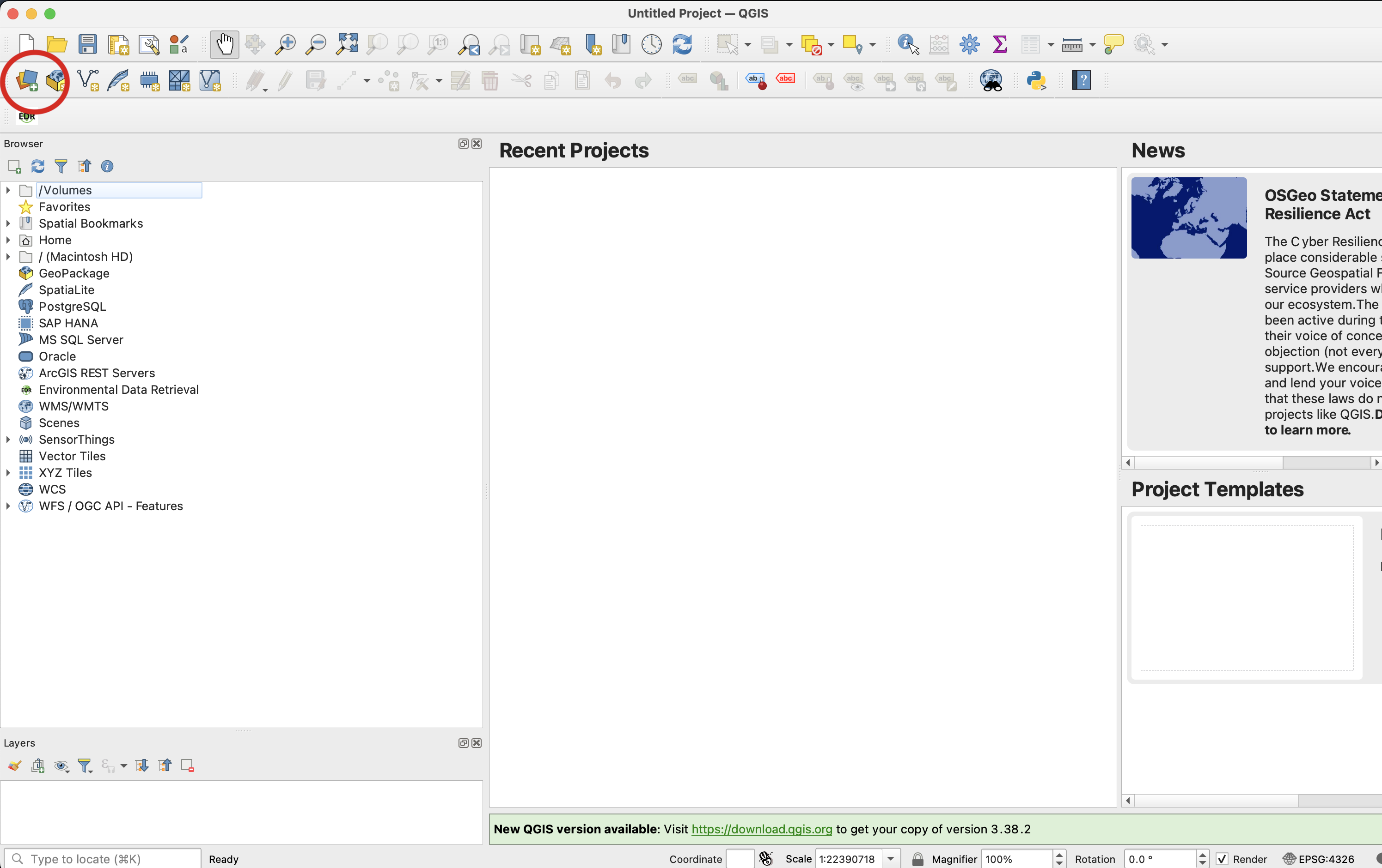
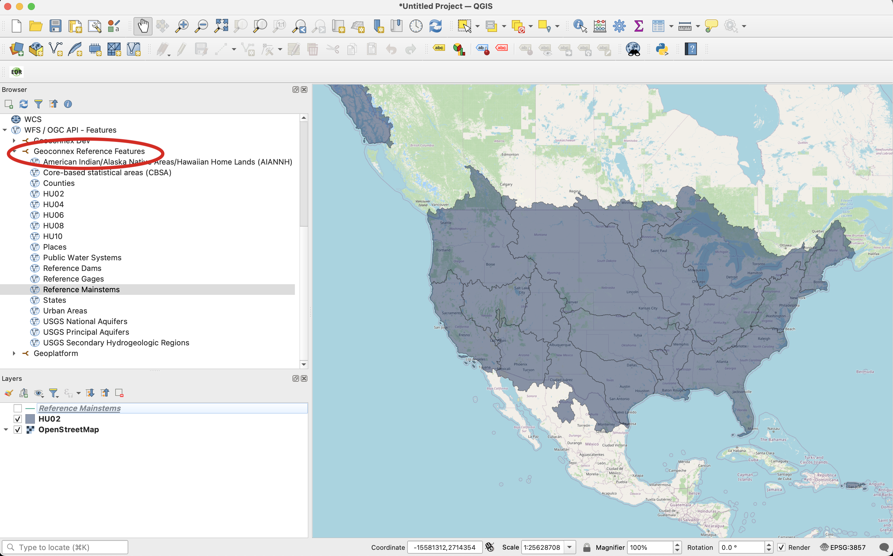
Open QGIS and navigate to the Layer menu.
-
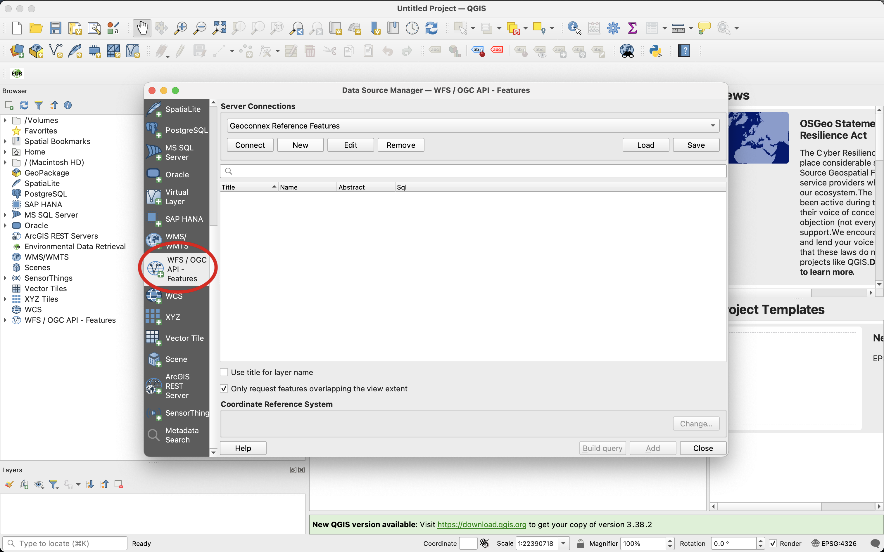
Select WFS / OGC API - Features from the available options.
-
Add the server connection by selecting New.
OR
Download the configuration file by selecting Load to automatically set up the QGIS connection.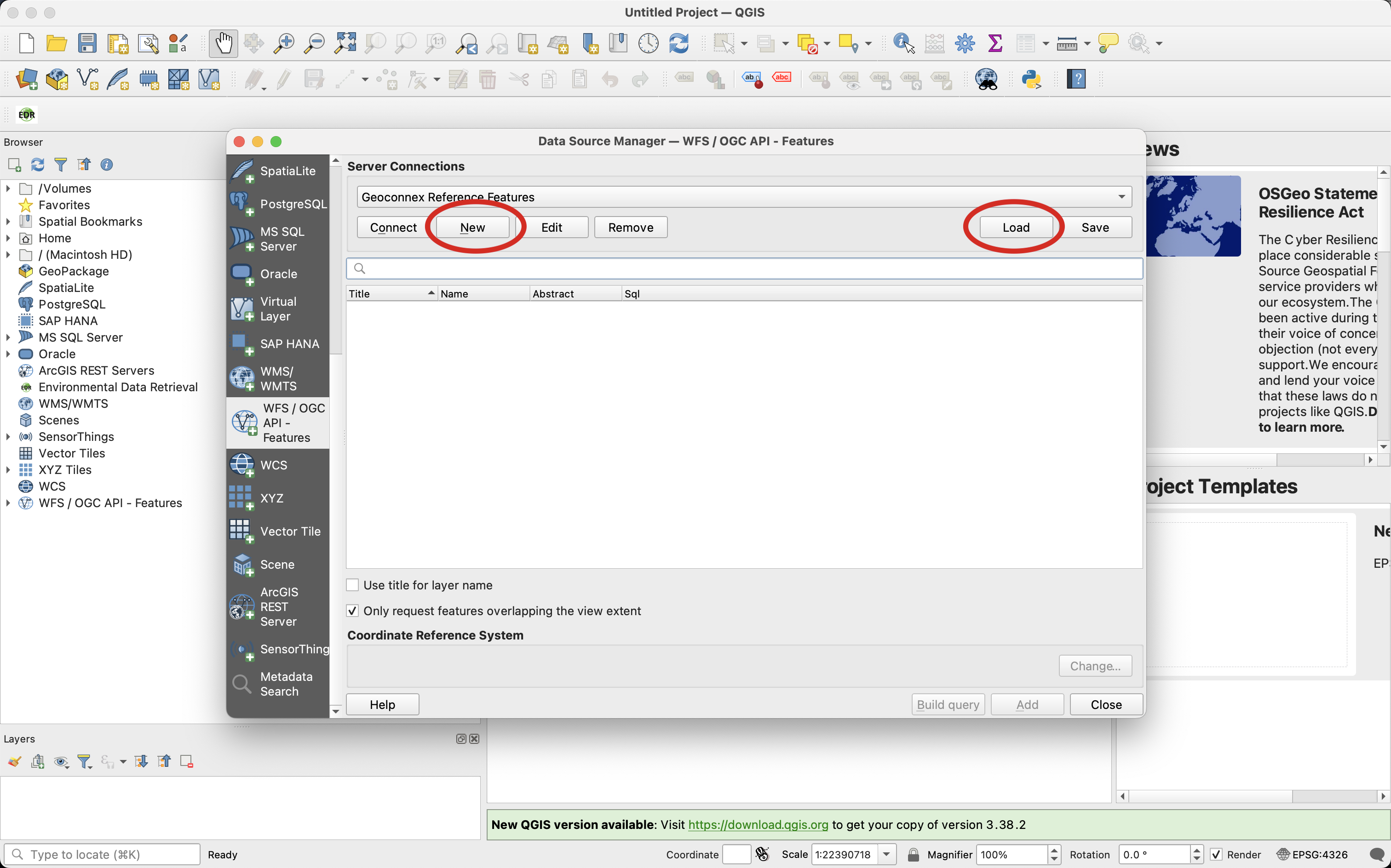
-
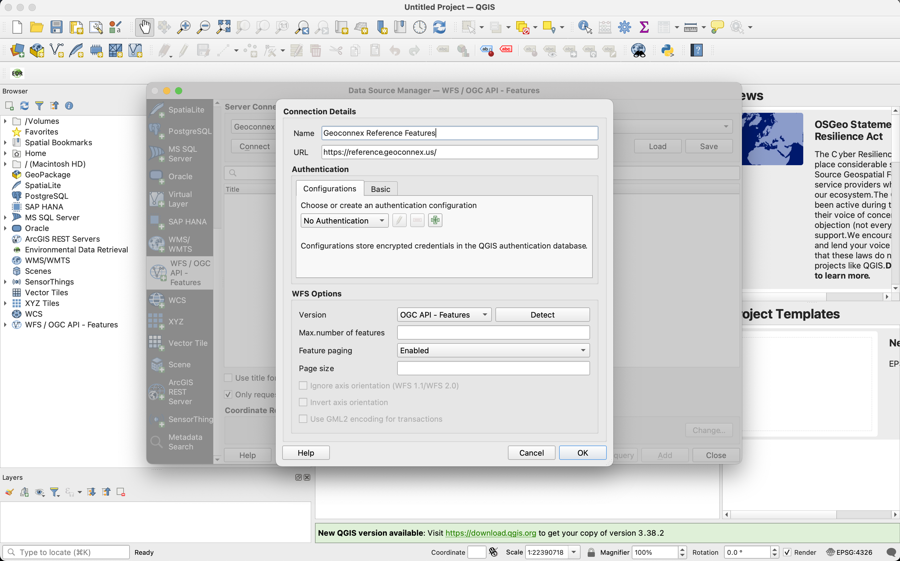
Enter the URL of the OGC API - Features server (
https://reference.geoconnex.us).
-
Add Features to your map.
-
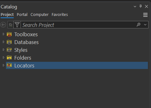
Open ArcGIS and go to the Catalog pane.
-
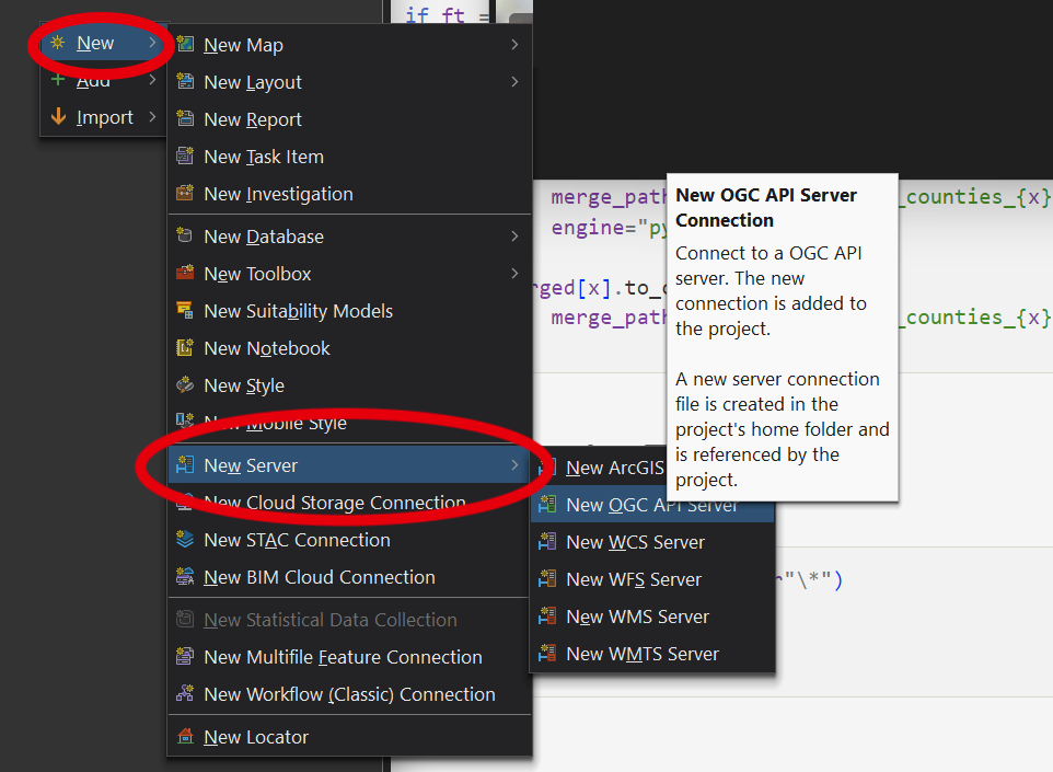
Right-click GIS Servers and select Add OGC API - Features (WFS).
-
Enter the URL of the OGC API - Feature server (e.g.,
https://reference.geoconnex.us), and add the connection. -
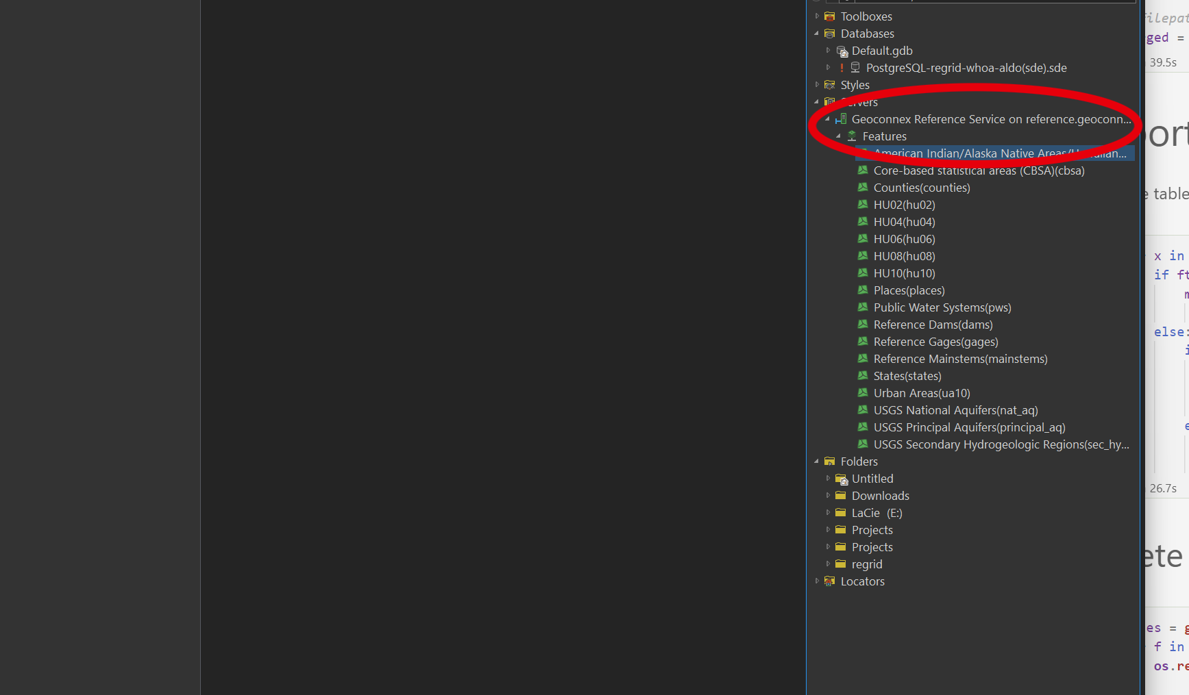
Browse and add layers from the server into your ArcGIS project.
Now you're ready to explore the data directly within your GIS application!